Sandstone Map
What your Map will look like:
Around 520 million years ago the sandy beaches that would become Potsdam sandstone were laid down as marine waters began to encroach upon the continent. As the waters continued to move towards the northwest, these beaches were submerged and then slowly covered by sediment that settled in the sea. This sediment would eventually become thousands of feet of stone (called dolomite), which would later erode, exposing the sandstone below.
It was Sir John Johnson (a loyalist leader during the American Revolution) who first took notice of the stone and its potential as a building material. This was while he followed the Racquette River through Hannawa Falls, on his way to Montreal, as he fled Patriot forces sent to arrest him in 1776.
However, it would not be until after 1809, with the establishment of the Parmeter quarry south of the Village of Potsdam, that this often-colorful stone would be used in construction. Potsdam Sandstone has been used in homes, churches, foundations, walls, sidewalks, and businesses across the area and in buildings as far away as Ottawa, Albany and Buffalo.
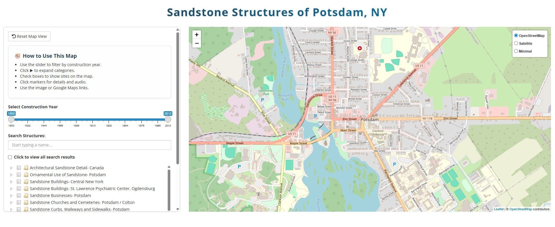
Click this link to use our interactive sandstone map.
Thanks to Zach Shepherd, CU Class of 2010, and John Bridges for researching and creating the original map and to Spoorthi Venkatesh and Clarkson University’s Applied Data Science program, for updating and recreating the map for our new website.