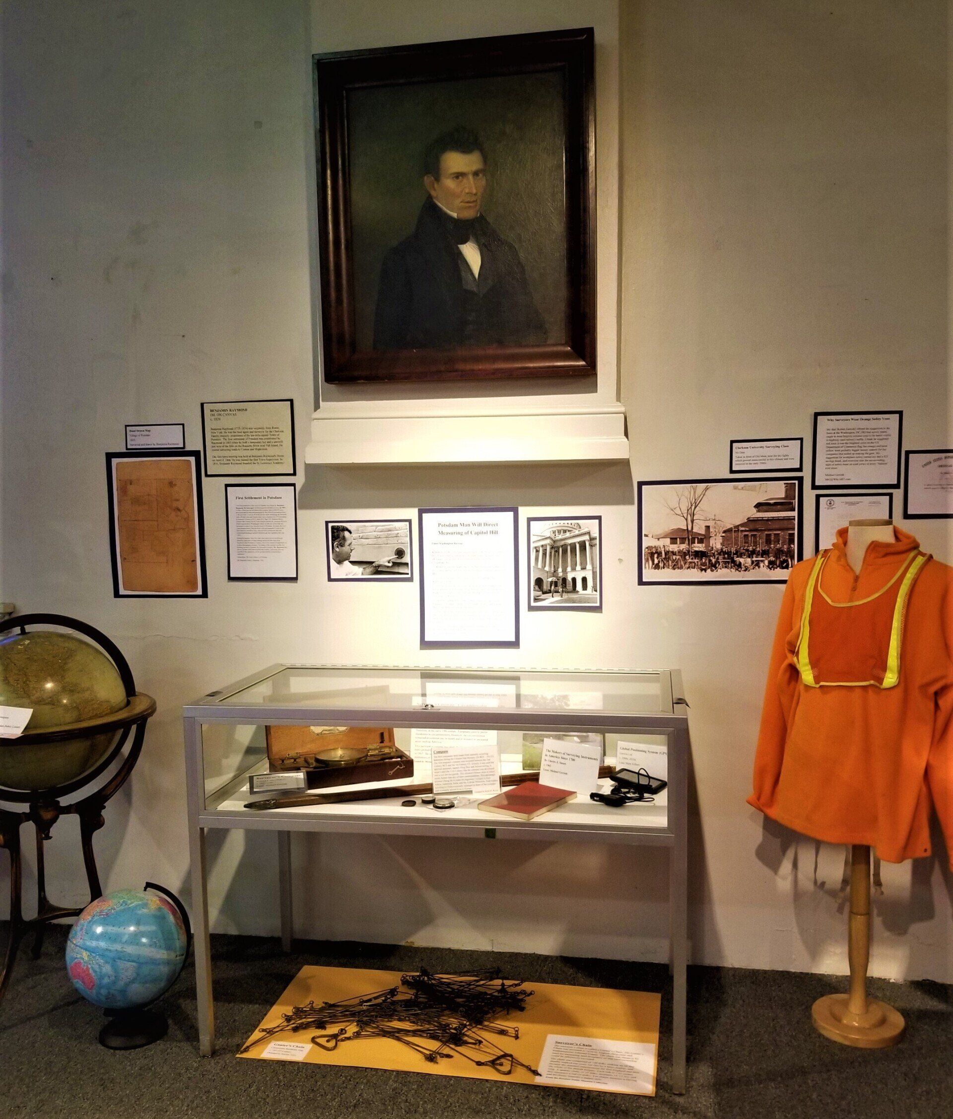
Surveying to Mapping Mini Exhibit
First Settlement in Potsdam
“The first settlement of the town of Potsdam was begun by Benjamin Raymond, the land agent for the proprietors (Clarkson’s etc.) in 1803. In May of that year he left Rome with a bateau laden with mill irons , provisions and six men and proceeded by the difficult and tedious route of Wood Creek (Locks at Wolf Rift in the canal connecting the Mohawk with a Wood Creek and Oneida Lake were completed in 1797 according to Eastman’s History of N.Y. State1832. Page 359. Museum Book) Oneida Lake Oswego River, Lake Ontario and the St. Lawrence River to Point Iroquois above Waddington where he left part of his load and proceeded to open a way thru the forest to Potsdam. He struck the river some distance below: here he built a raft and ascended ½ mile to the falls where he arrived in June. Here he built a temporary hut and commenced building a sawmill which he got into operation that year (1803).
During the summer, lines for roads were surveyed our in different directions, and some of them among which was the route from Stockholm thru Potsdam to Canton, was so far cleared of underbrush as to allow the passage of teams. The frame of the sawmill was the first building erected in Potsdam [by non-native people]. Mr. Raymond had for two or three years traversed all this country, surveying, and was sensible to the superiority of the soil here before commencing a settlement.”
Quote from: The Early History of Potsdam
By Marguerite Gurley Chapman, 1956
Globe
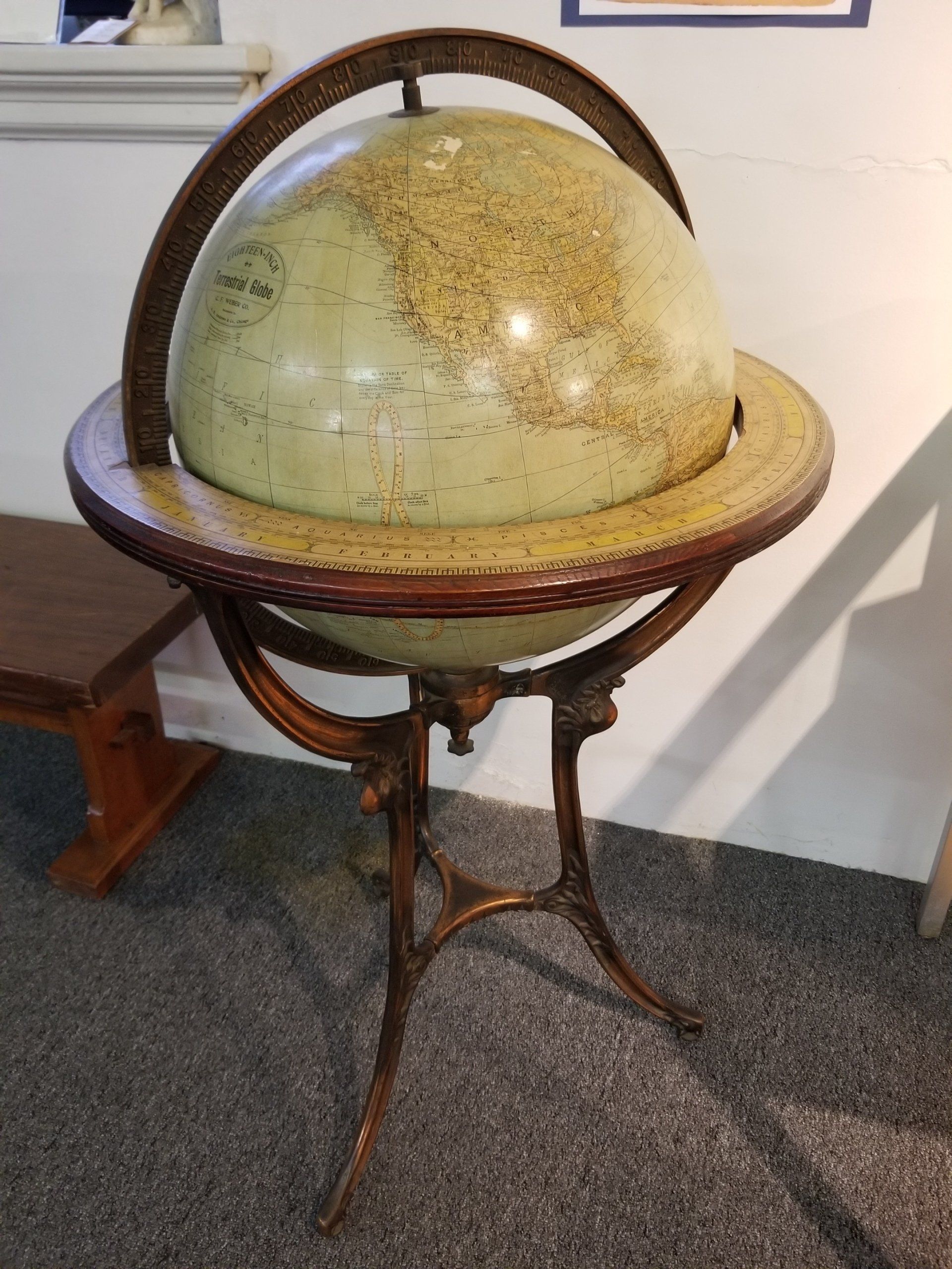
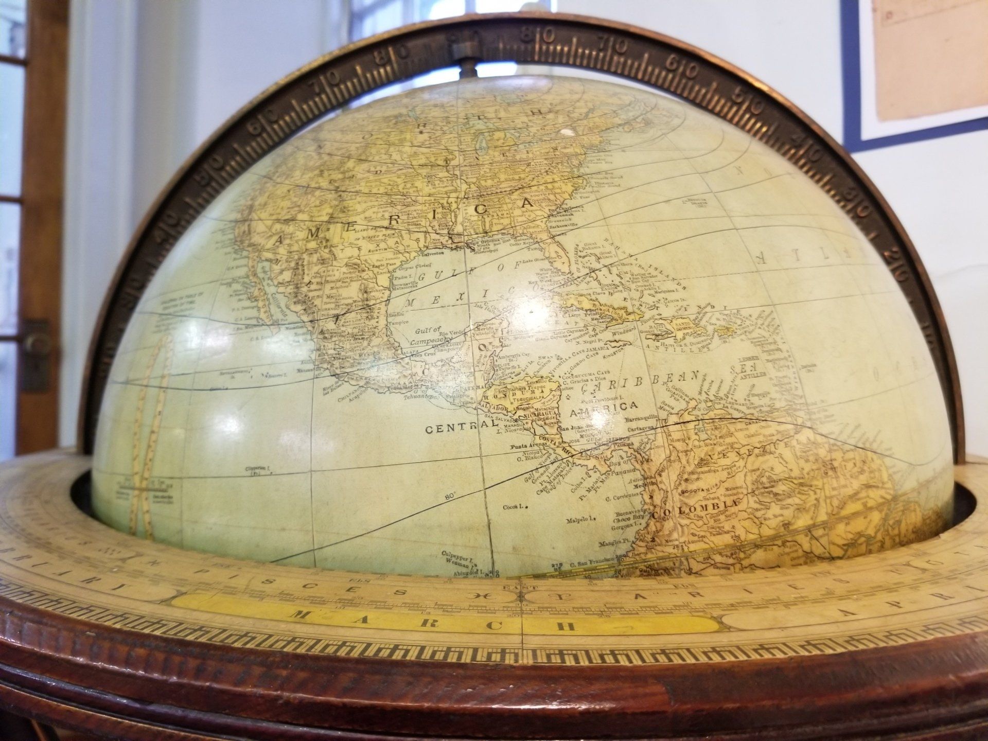
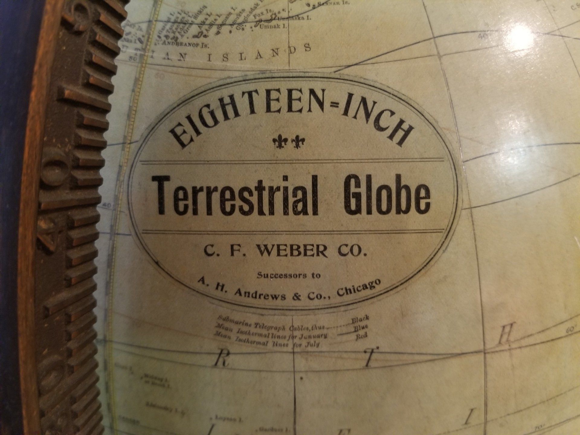
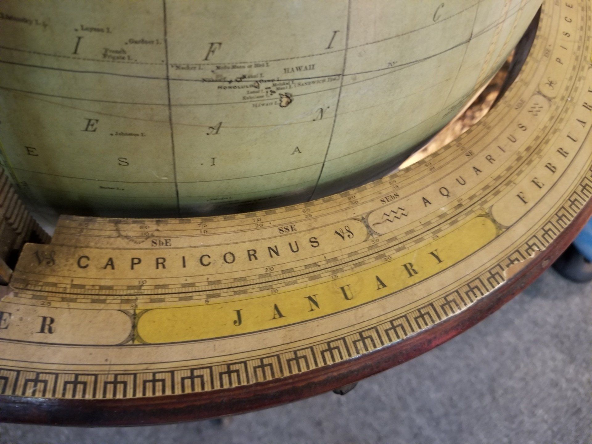
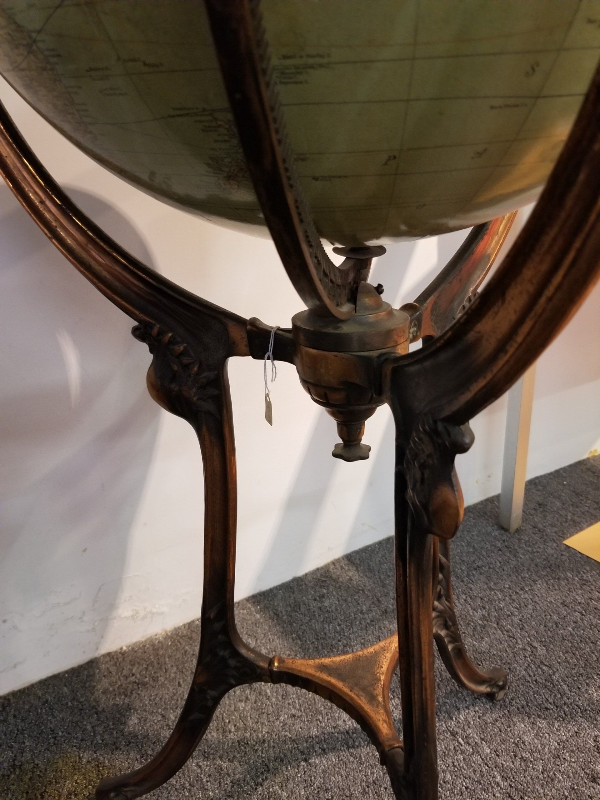
A.H Andrews & Company
c. 1889-1897
In the 1890s, C.F. Weber & Co. purchased this globe from A.H. Andrews & Company, a manufacturer of globes and school supplies. Weber produced this eighteen-inch terrestrial globe in the mid-1890s. It includes a wooden horizon ring and metal meridian ring, which divide the globe into hemispheres. It also has lines depicting shipping routes and wind patterns. The globe can be dated to between 1889 and 1898 due to the names of countries on the globe. Puerto Rico and Cuba are still listed as being Spanish territories; they were ceded to the United States in 1898. The globe was produced after 1889 because it includes the split between North Dakota and South Dakota. The globe rests in a cast-iron stand. This globe was used in the Potsdam Public Library and given to the Potsdam Public Museum in 1976.
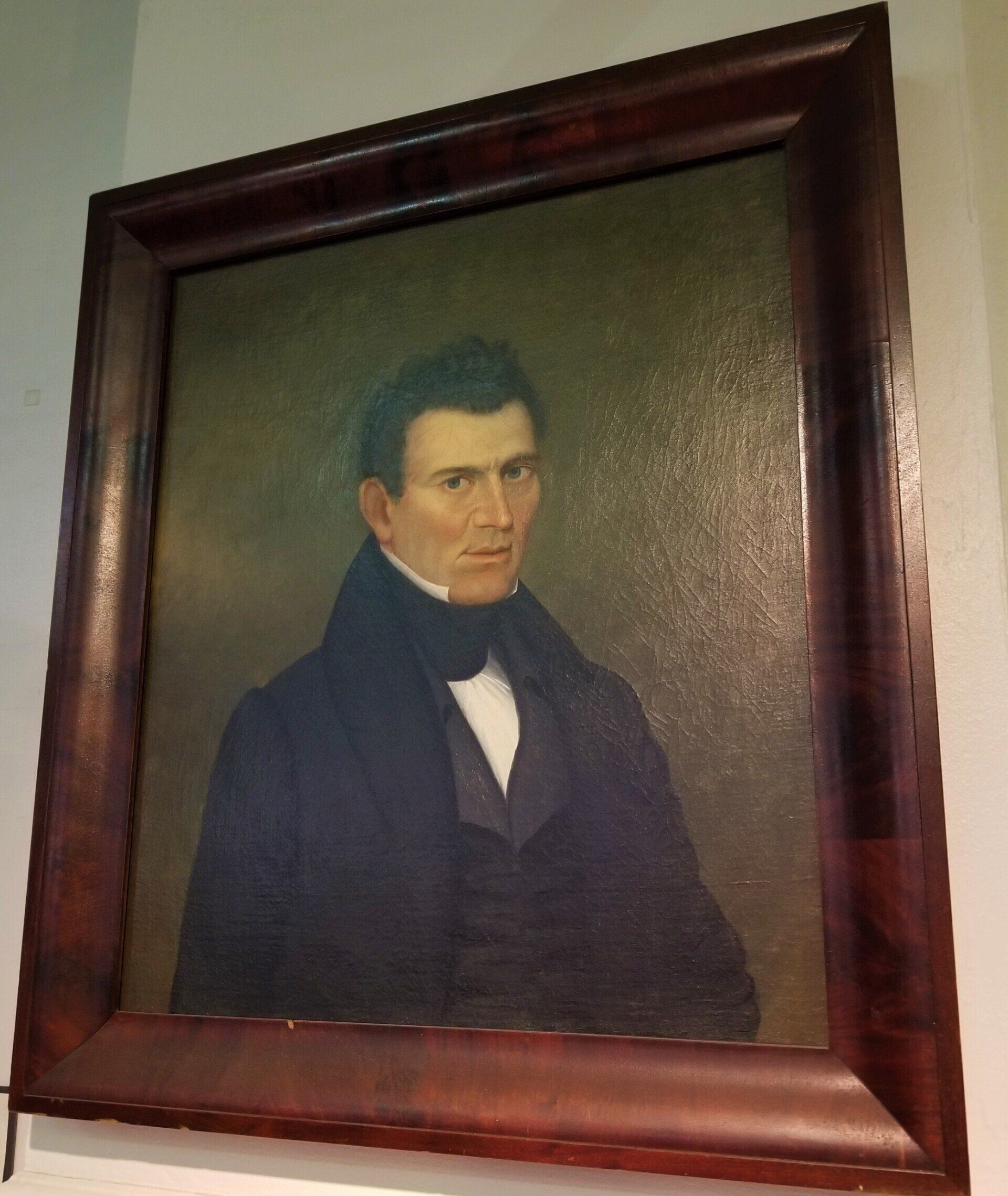
Portrait of Benjamin Raymond
Oil on Canvas
c. 1820
Benjamin Raymond (1775-1824) was originally from Rome, New York. He was the land agent and surveyor for the Clarkson Family, majority proprietors of the ten-mile square Town of Potsdam.
The first settlement of Potsdam was established by Raymond in 1803 when he built a temporary hut and a sawmill just west of the falls on the Raquette River at Fall Island. He started surveying roads to Canton and Hopkinton.
The first town meeting was held in Raymond's house on April 4, 1806. He was named the first Town Supervisor. In 1816, he helped found the St Lawrence Academy.
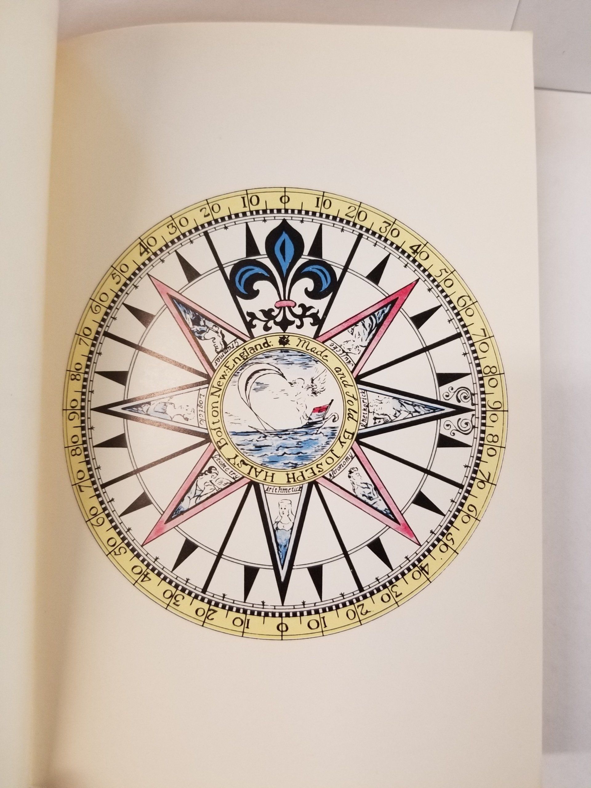
Early Map of Potsdam
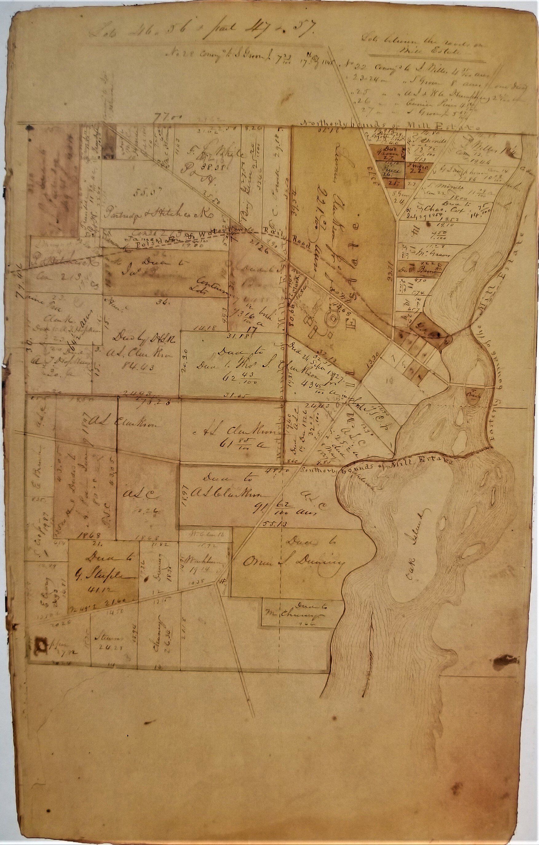
A hand-drawn map made of the western half of the village, created around 1810 for Thomas S. Clarkson II and Liberty Knowles.
The boundaries of the Mill Estate are defined along with the roads that ran through the area.
Lot owners and the measurements of their properties are included, all of which was done by a surveyor.
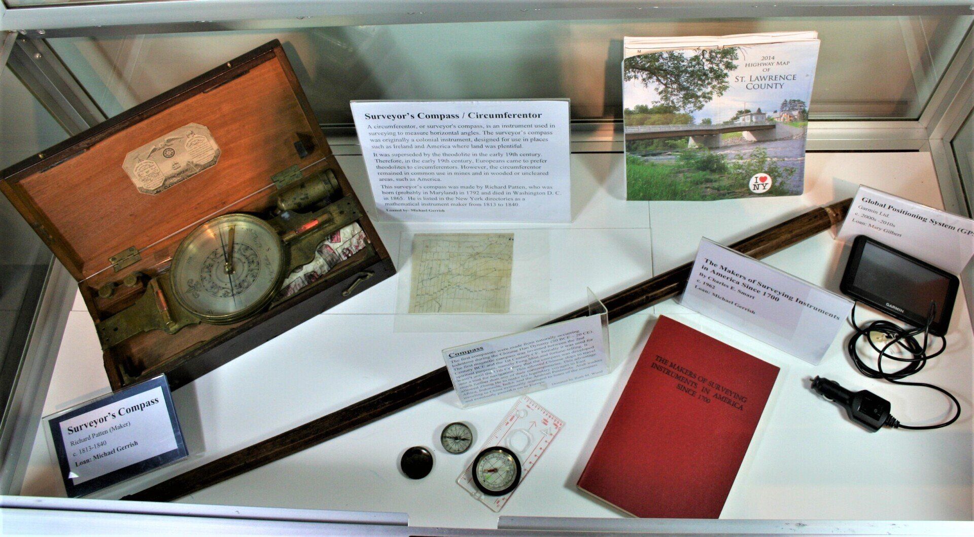
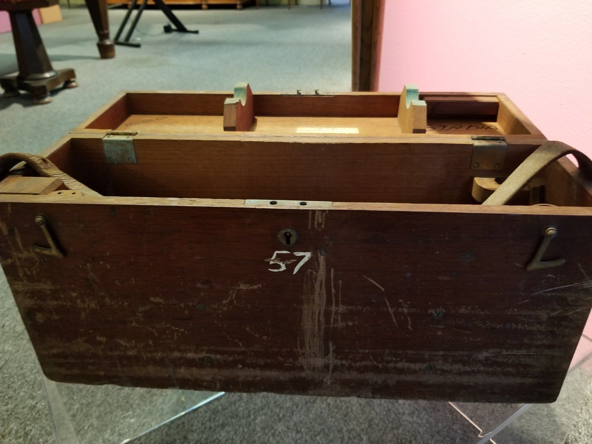
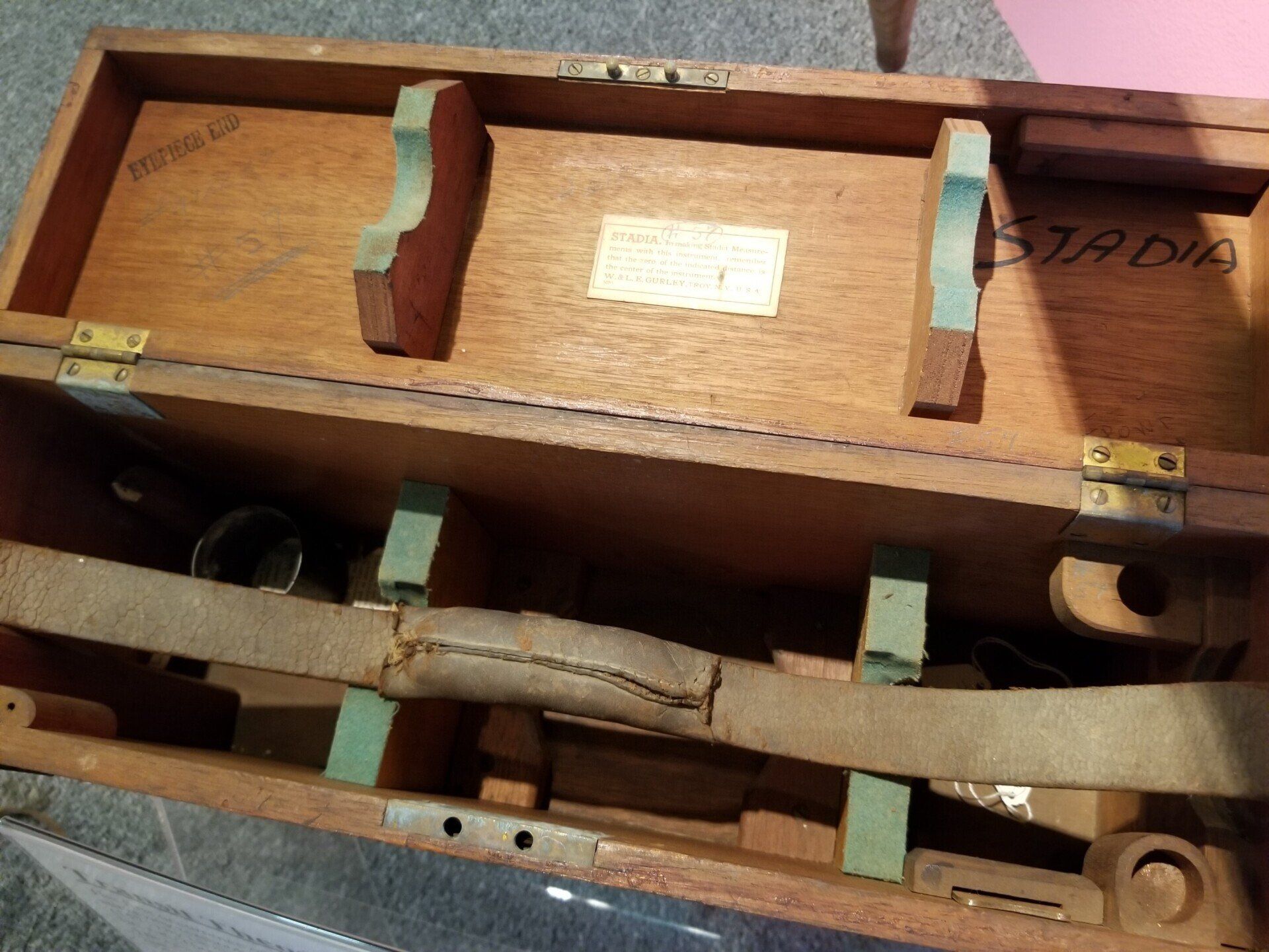
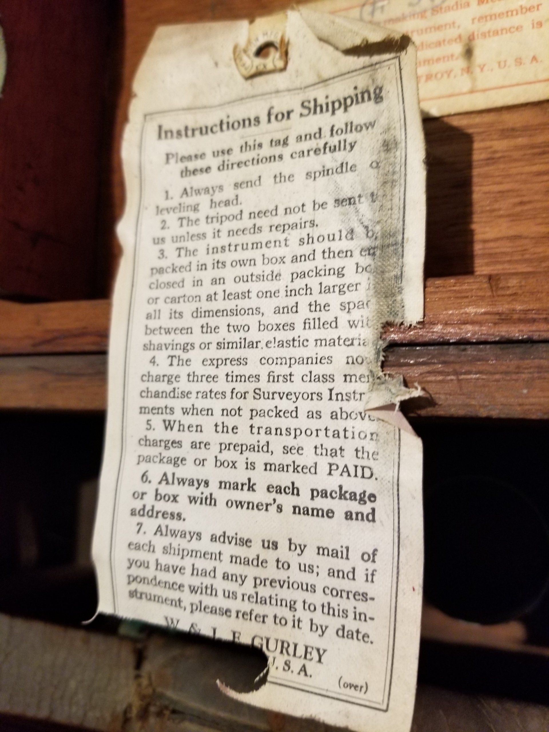
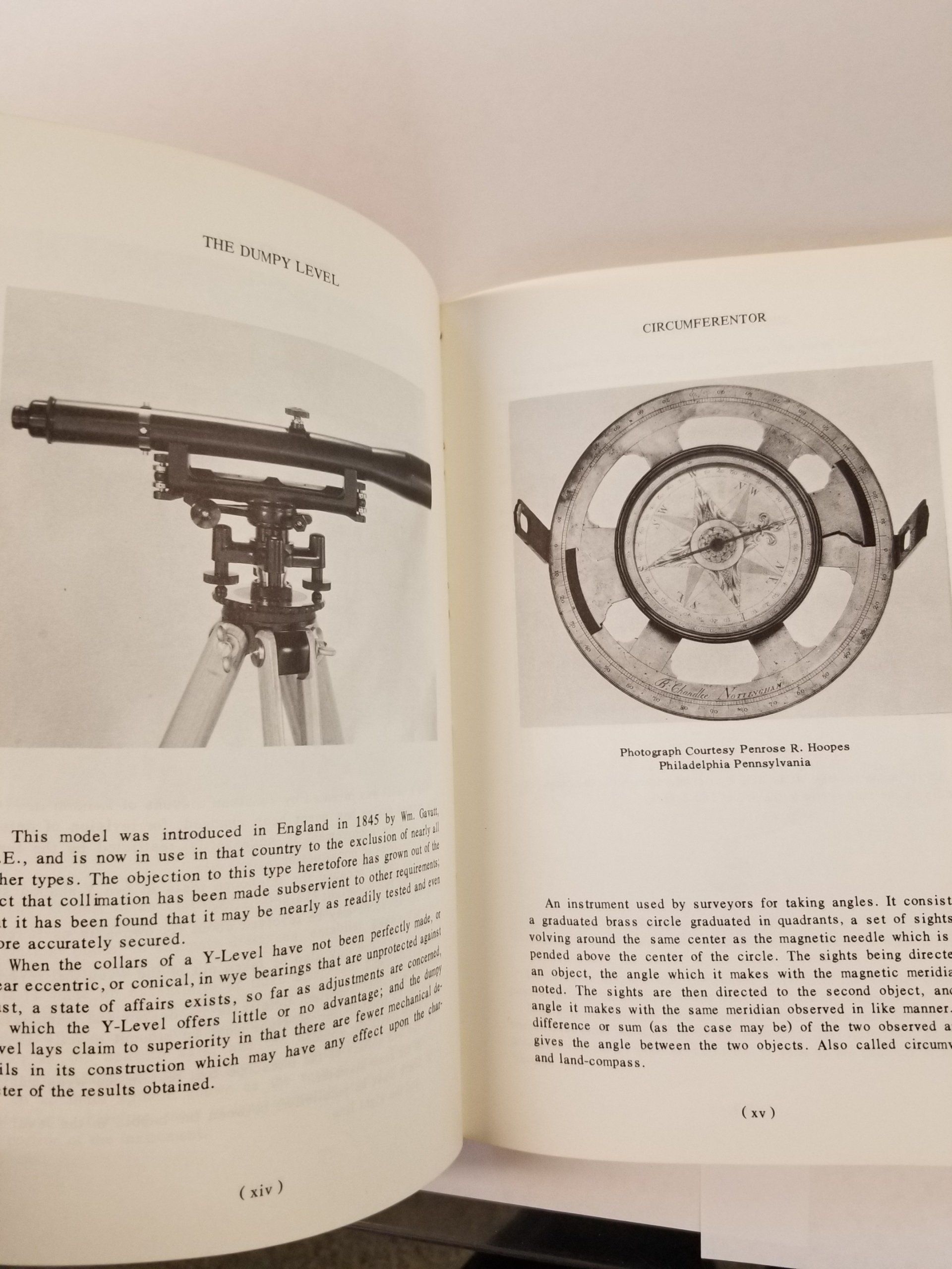
Surveyor's Transit or Theodolite
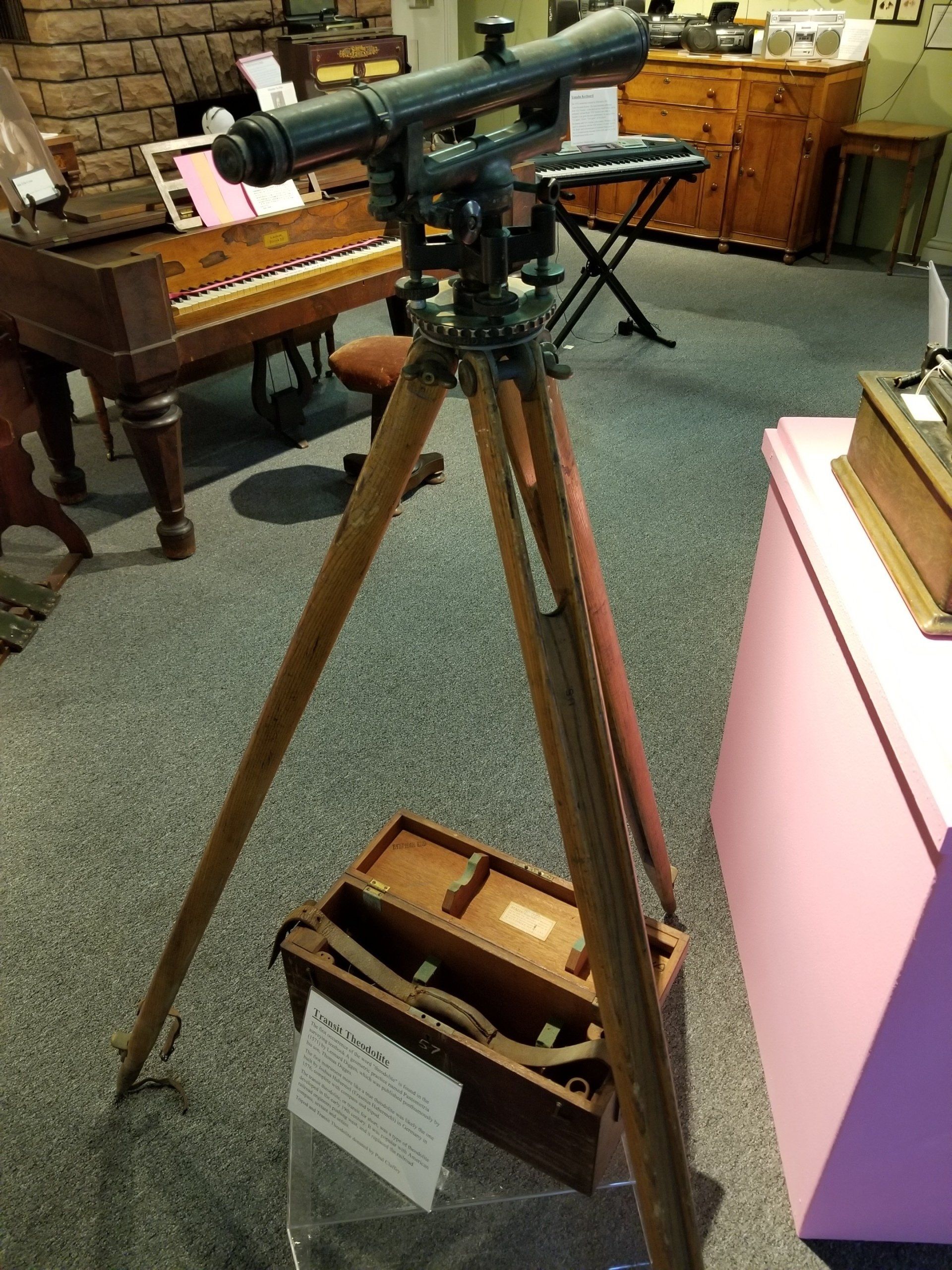
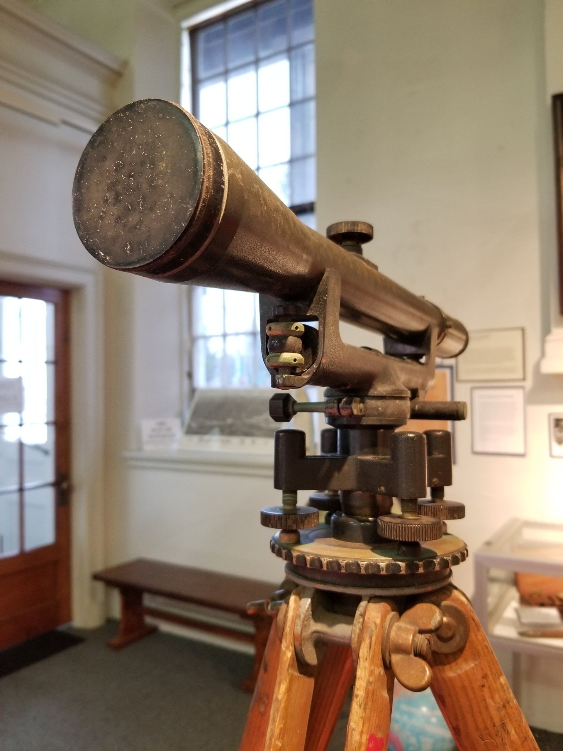
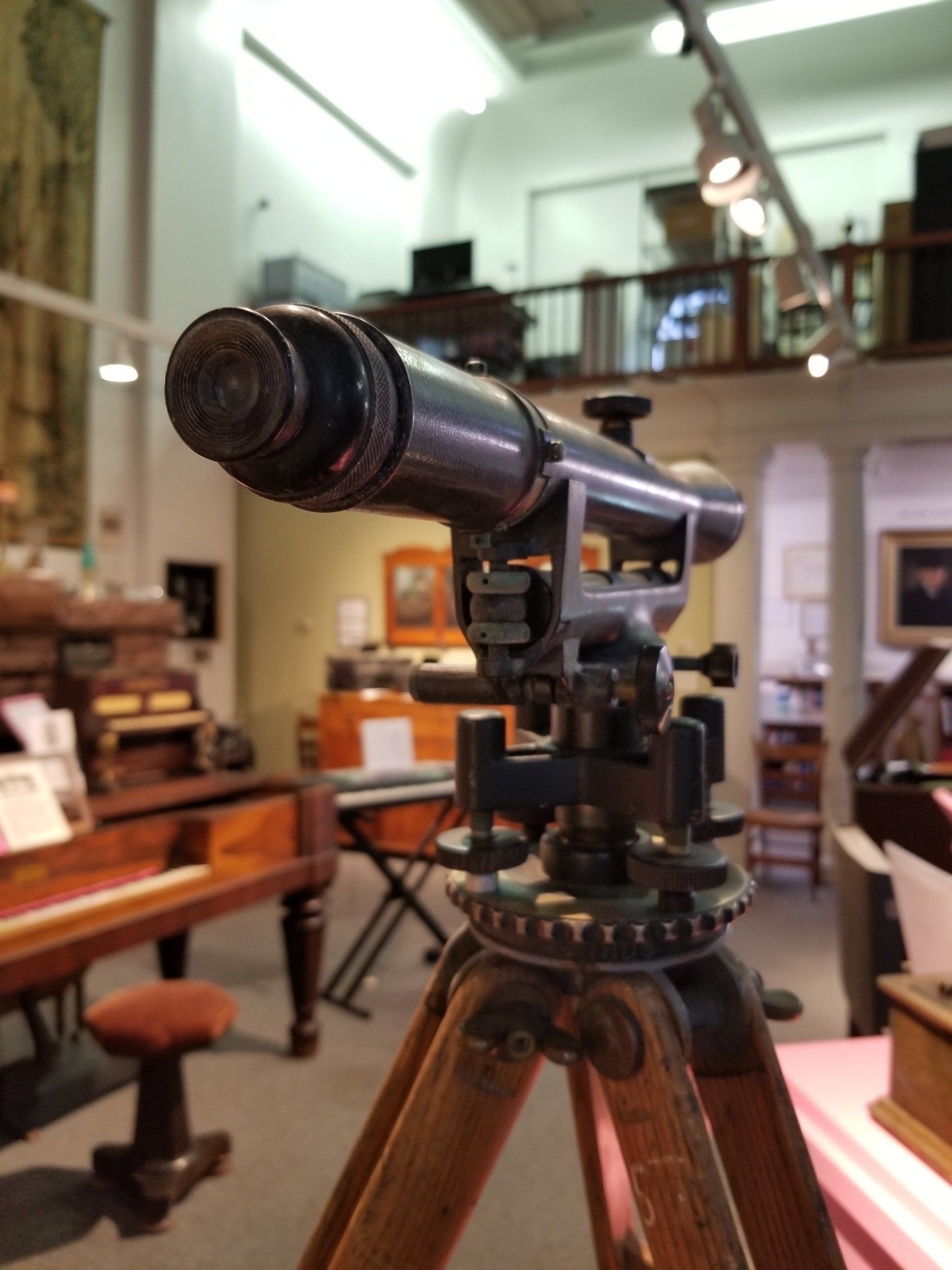
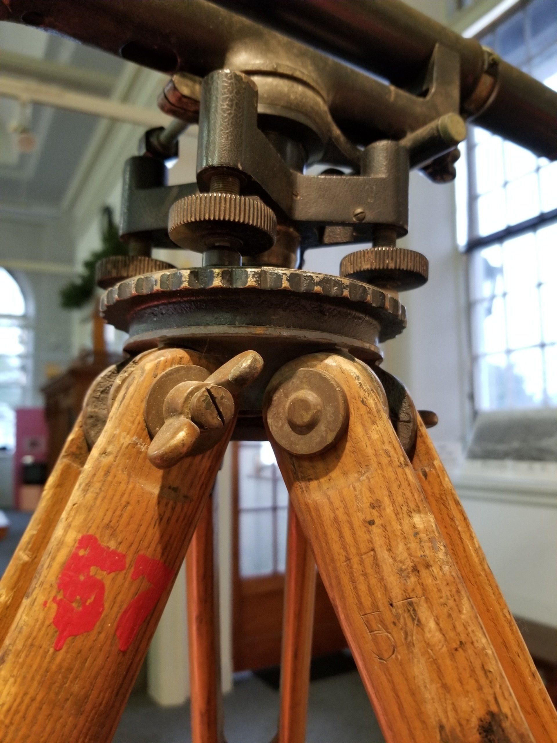
The first occurrence of the word "theodolite" is found in the surveying textbook "A Geometrical Practise named Pantometria" by Leonard Digges (1571), which was published posthumously by his son Thomas.
The first instrument more like a true theodolite was likely the one built by Joshua Habermel (Erasmus Habermehl) in Germany in 1576, complete with compass and tripod.
The transit theodolite, or transit for short, was a type of theodolite developed in the early 19th century. It was popular with America railroad engineers pushing west, and it replaced the railroad sextant, compass, and octant.
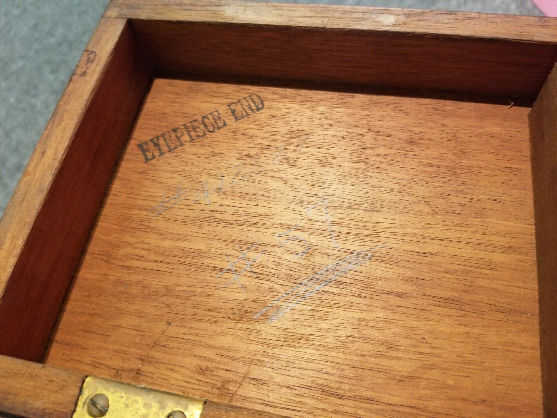
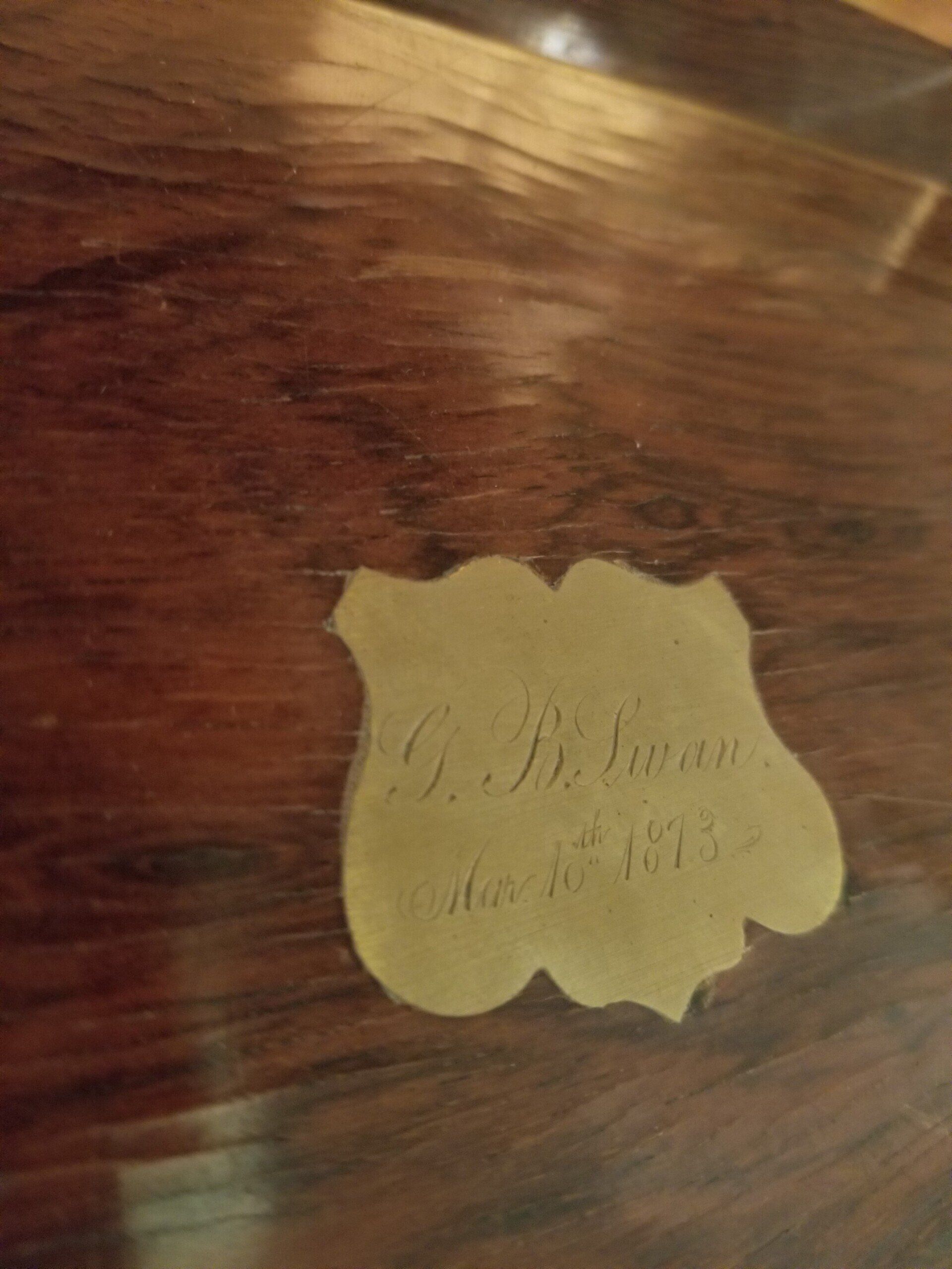
George B. Swan's Drafting Equipment
c. 1873
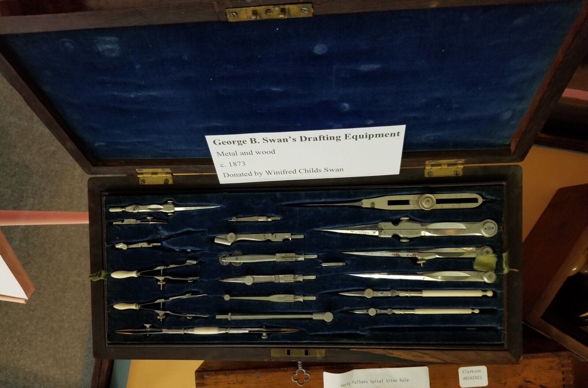
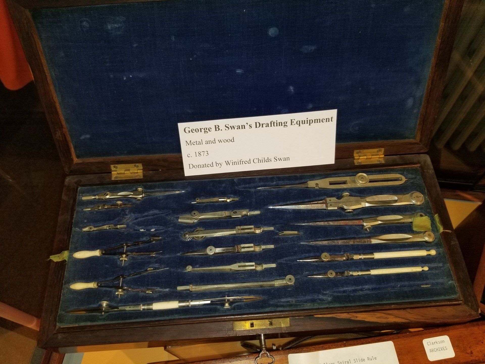
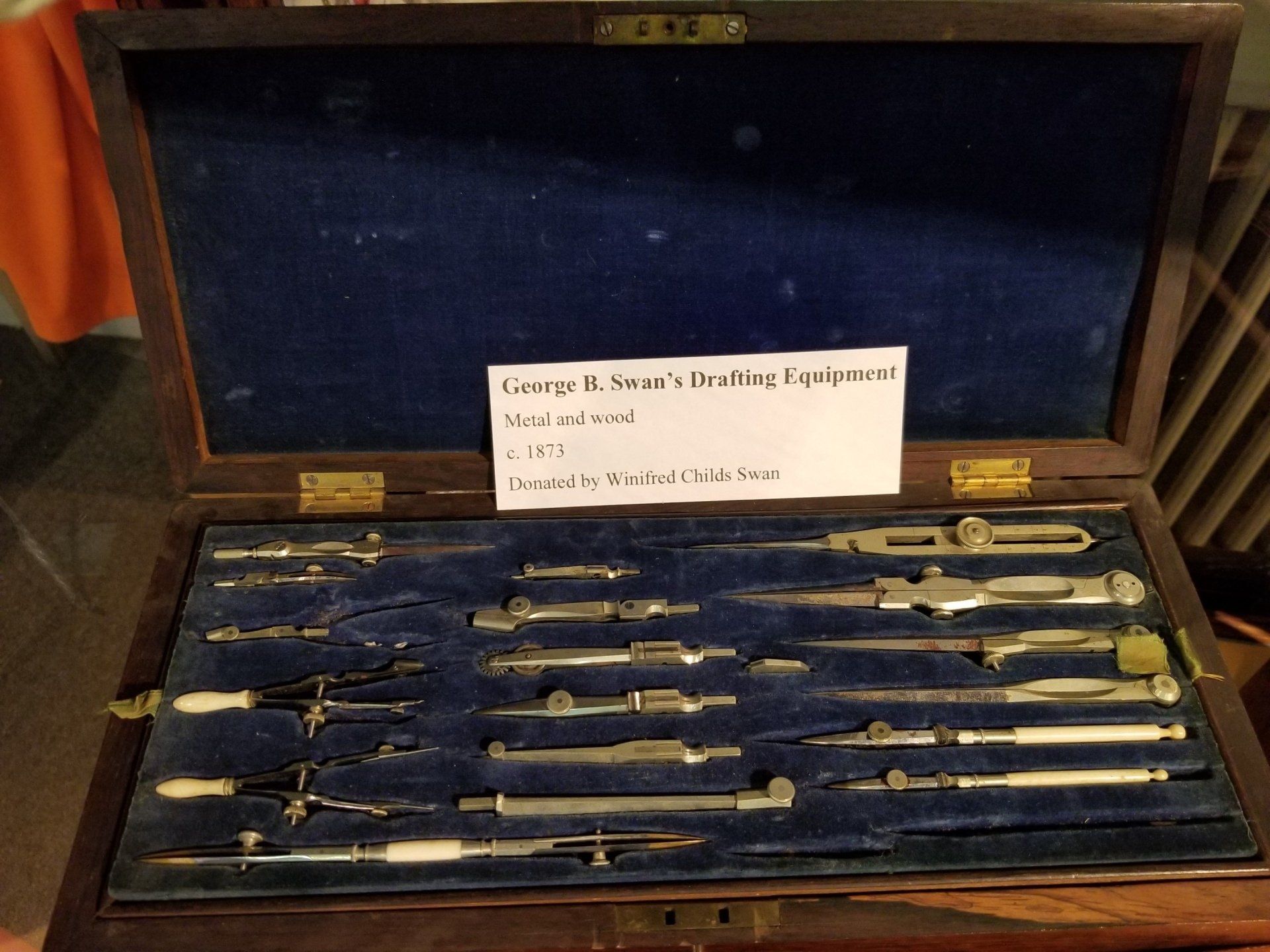
George B. Swan would have used these tools to create precise maps from measurements supplied by surveyors. Each piece was designed with precision in mind as minor mistakes could have a big impact when it came to determining property lines and other legal liabilities.
Surveyor's Chain
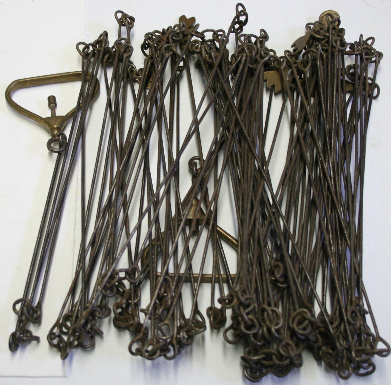
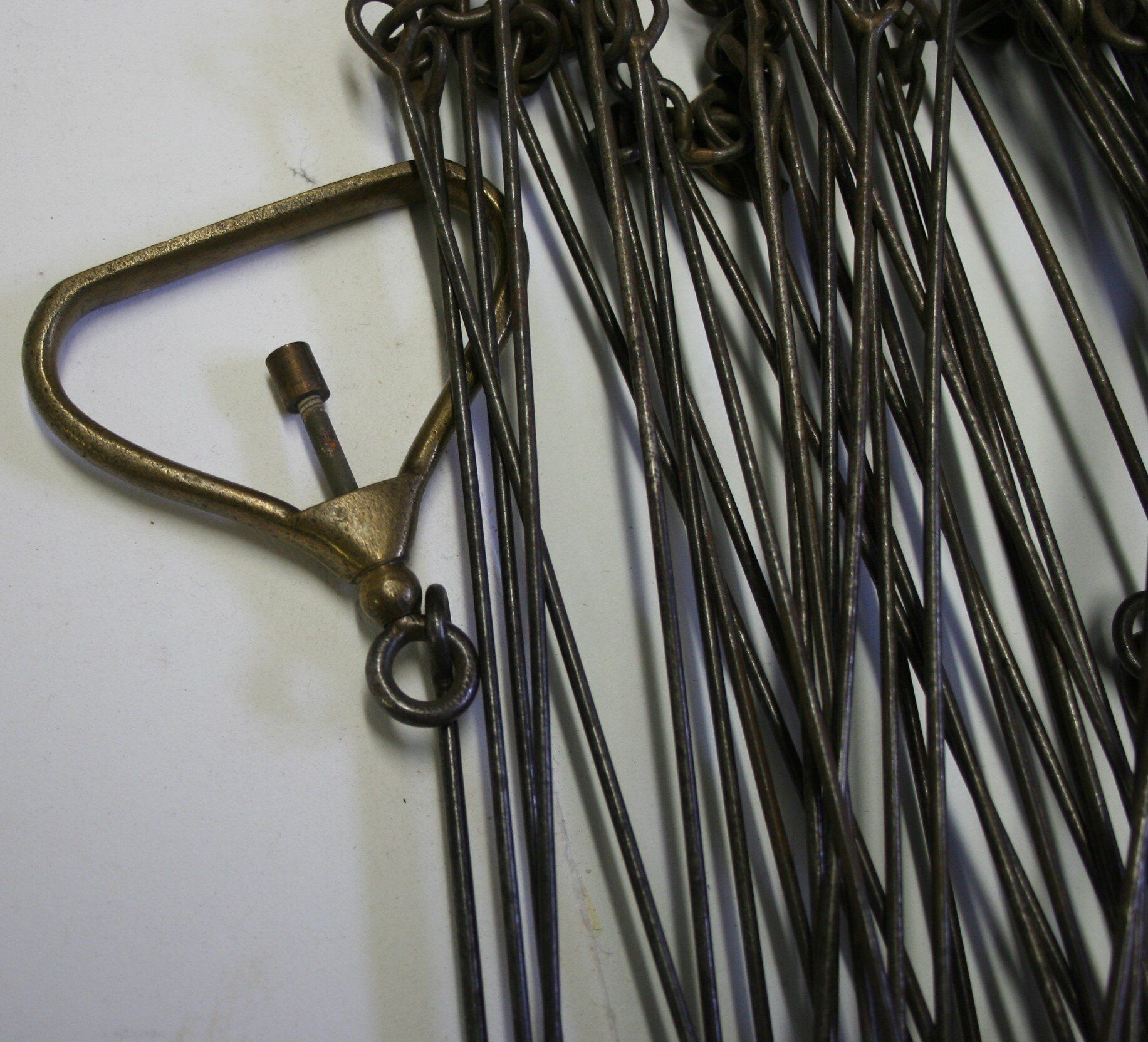
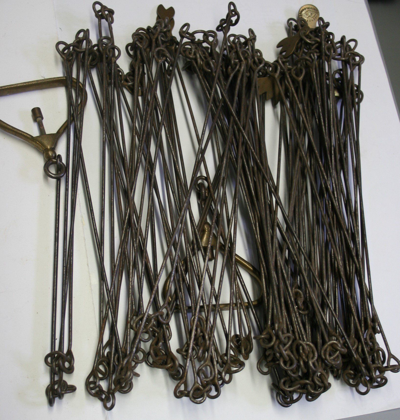
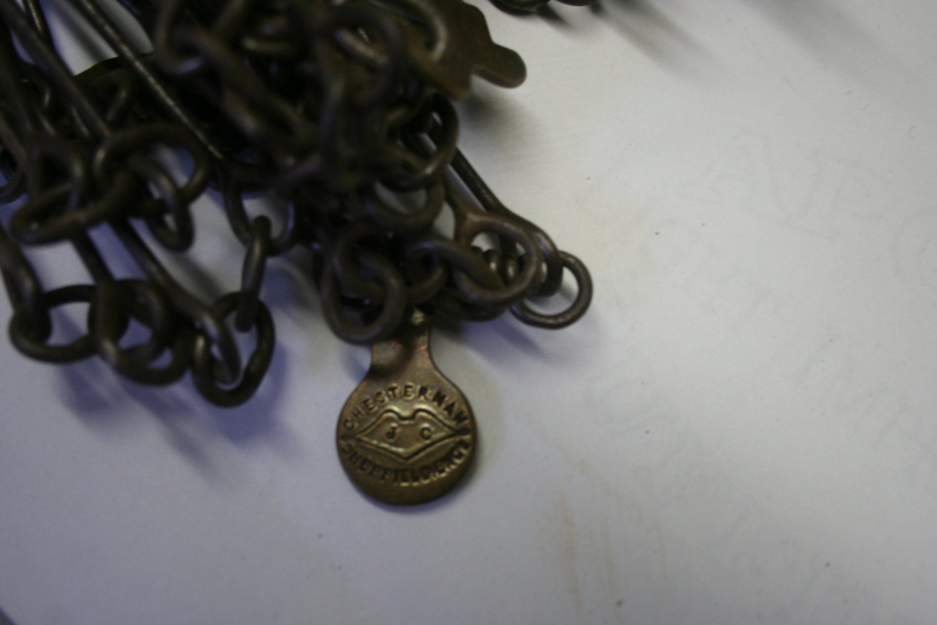
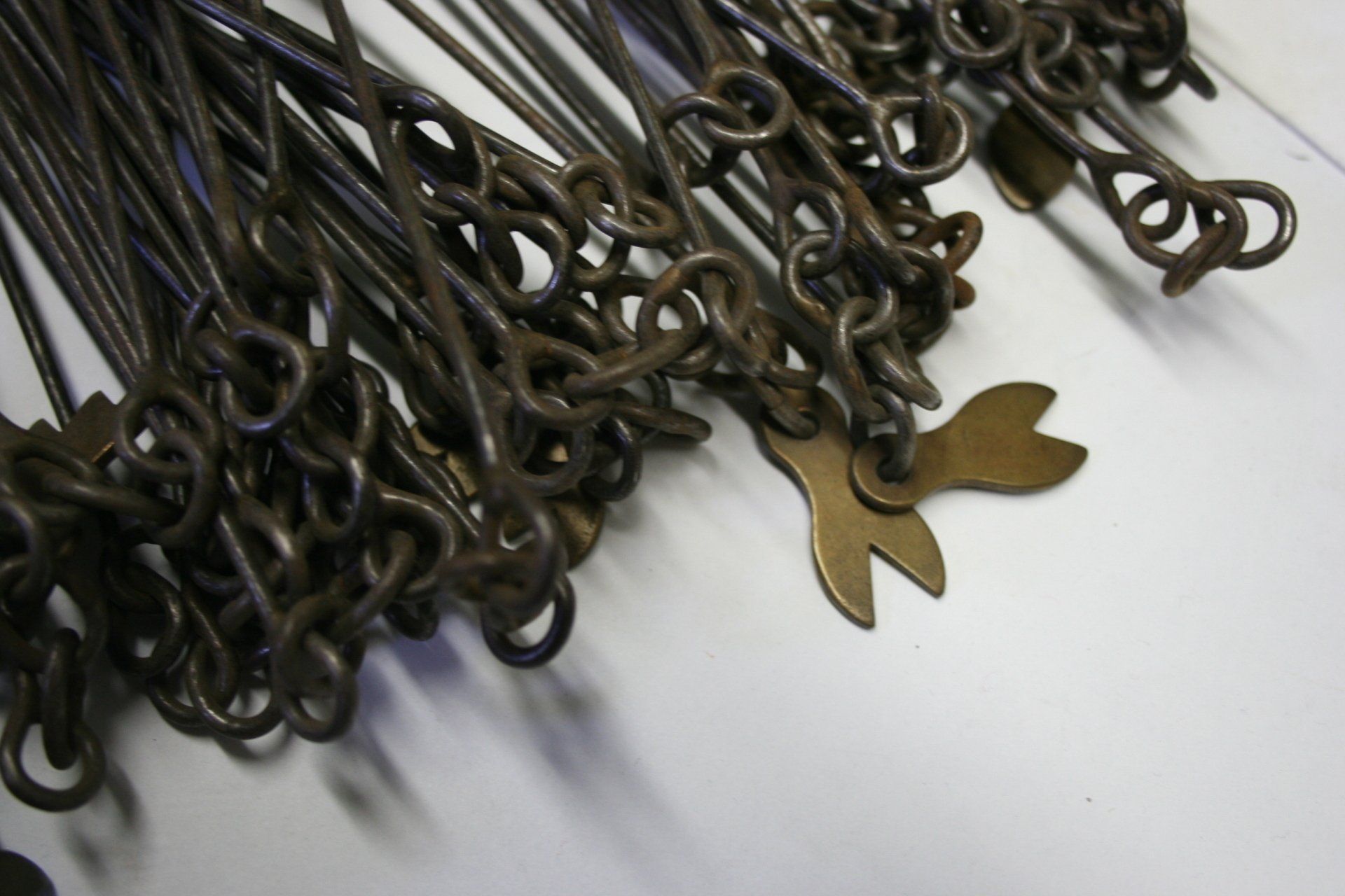
The surveyor’s chain is called a Gunter’s Chain. The Gunter’s Chain was invented in 1620 by English clergyman and mathematician Edmund Gunter. The chain was meant to be used for measuring land accurately so that land ownership could be effectively recorded.
The chain was composed of 100 links, making up 66 feet usually marked out every ten feet by a brass marker, and became the standard measurement for first England and then the whole of the British Empire. Each link is 7.92 inches long. A quarter chain, or 25 links, measures 16 1⁄2 feet and thus measures a rod (or pole). Ten chains measure a furlong and 80 chains measure a statute mile.
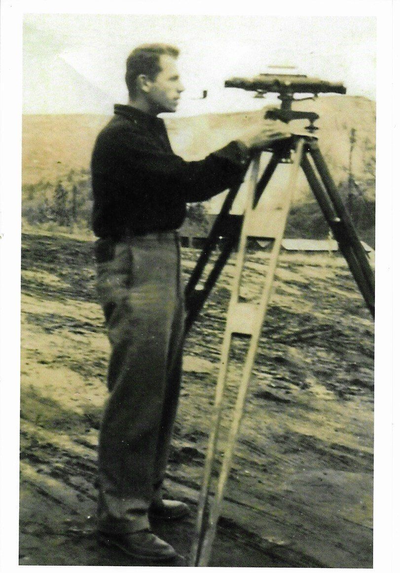
Robert R. Gerrish
A Potsdam-born Surveyor
Items and Information loaned by Michael Gerrish
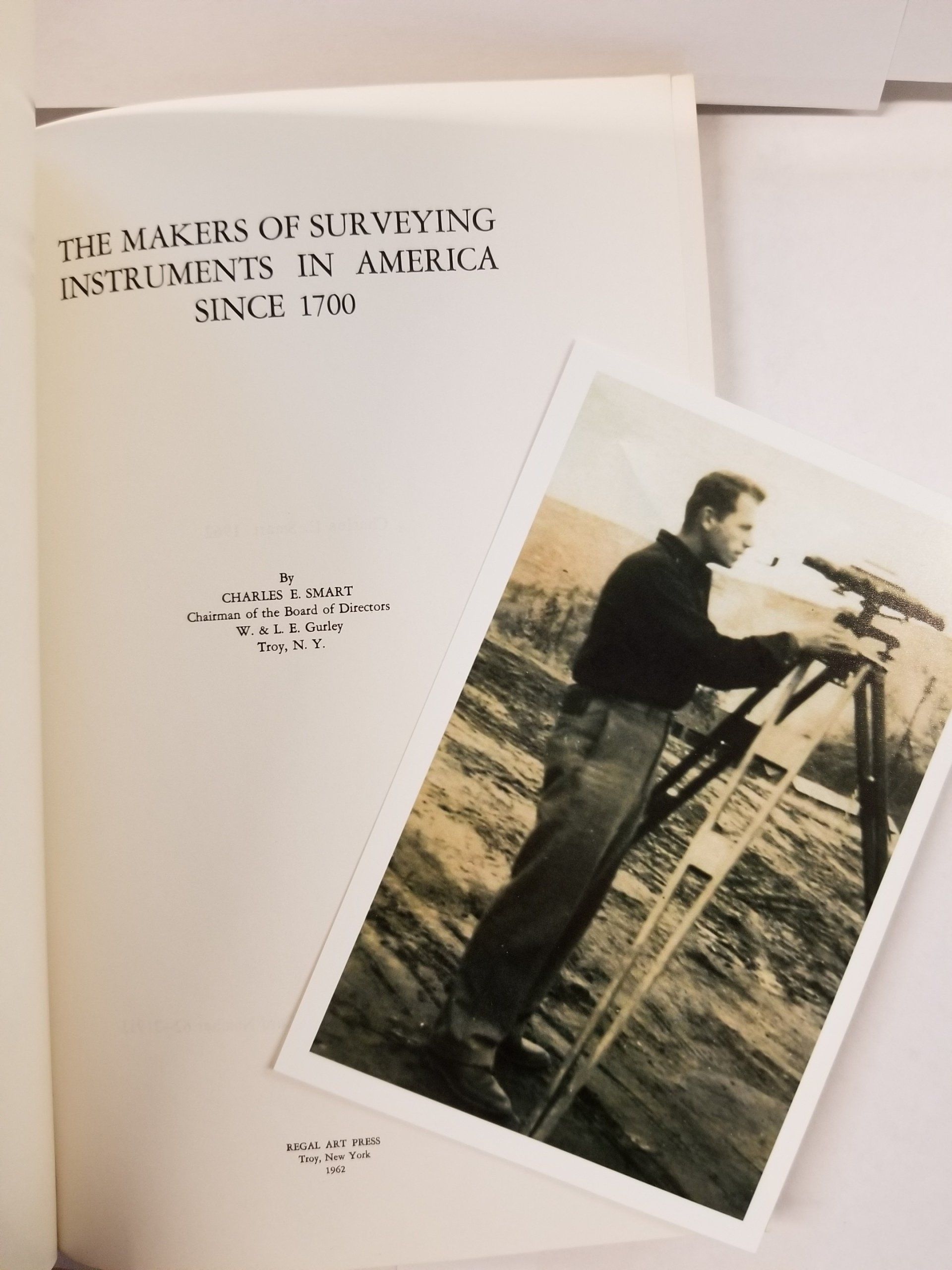
The Makers of Surveying Instruments in America Since 1700
Potsdam Man Will Direct Measuring of Capitol Hill
Times Washington Bureau
News Article
WASHINGTON - The first measurement of the height of Capitol Hill in nearly half a century will be made under the supervision of a Potsdam man as part of a routing project to the Chesapeake Bay.
Robert R. Gerrish heads one of the National Geodetic Survey's two coastal parties, and his 29 man unit began its current project in May.
Three of the party's five field units will undertake the Washington work.
Gerrish said in an interview that he grew up in Potsdam and was graduated from Potsdam High School where his younger son, Mark is now a junior. An older son, Michael is a senior at the University of Rochester.
Gerrish's grandfather, John O'Neil, was a railroad man at Potsdam. A brother, Charles, is a Potsdam resident, and a sister, Mrs. Hilda Scheyer lives at Hannawa Falls.
The Capitol Hill work will start early next month, Gerrish said. The instruments used to do the measuring are so exact, Gerrish says, they can determine the elevation of Capitol Hill within half an inch.
This should enable a determination whether the Capitol's weight of more than 8,900,000 pounds caused the site to sink since the first measurement in 1884.
Why Surveyors Wear Orange Safety Vests
My dad [Robert Gerrish] offered the suggestion to the brass at the Washington, DC, HQ that survey teams ought to wear brightly colored vests to be better visible to highway (and railway) traffic. I think he suggested red since it was the brightest color on the US Department of Commerce flag, but orange and neon yellow were probably bigger money makers for the companies that ended up making the gear. His suggestion for workplace safety earned my dad a $25 savings bond and everyone else the never-ending sight of safety-wear on road crews of every "fashion" ever since.
- Michael Gerrish